About Us
The Applied Geomatics Research Laboratory is based in the Department of Geography and Environmental Management at the University of Waterloo. Our group focuses on original applications of geospatial technologies, such as Geographic Information Systems (GIS) and remote sensing to environmental, physical sciences, climate change, social, and health sciences research at national, regional, and local scales.
Geomatics
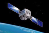
Geomatics consists of products, services and tools involved in the collection, integration and management of geographic data. Geographic information can be retrieved from various sources, including earth-orbiting satellites, ground-based instruments and airborne and seaborne sensors. These data are transformed into digital maps and other usable forms with state-of-the-art information technology.
Geomatics Applications
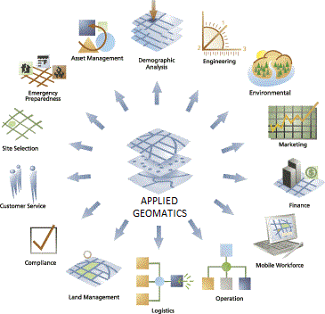
GIS technology, data structures and analytical techniques are gradually being incorporated into a wide range of management and decision-making operations. Nowadays, geomatics has been applied to diverse fields to assist experts and professionals in analyzing various types of geospatial data and dealing with complex situations. No matter in business, education, natural resources, tourism, or transportation, geomatics play an essential role in helping people to collect, visualize, and analyze related spatial data.
|
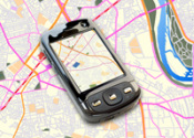
Mapping
|
Education

|
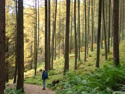
Natural Resources
|
|
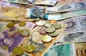
Business/Economics
|
Military/Intelligence
|
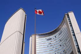
Government
|
|
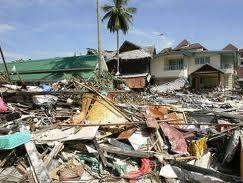
Disaster Management
|
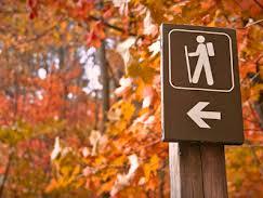
Tourism
|
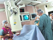
Public Health
|
|
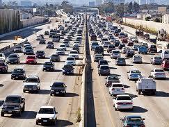
Transportation
|
Crime

|
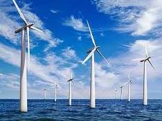
Renewable Energy
|